The year 2024 was pivotal for the Global Land Initiative. Land degradation and restoration remained prominent on the global policy agenda throughout.
The UN Environmental Assembly, G7 Leaders’ Summit, G20 Environment and Climate Change Ministers’ meeting, and BRICS Leaders’ Summit addressed land degradation and committed to scaling up land restoration efforts.
The European Union passed a new Restoration Law mandating quantitative targets for land restoration. The UNFCCC, UNCBD and UNCCD Conferences of the Parties (COPs), held during the last quarter of the year, reinforced land restoration as a crucial solution to combat land degradation, biodiversity loss and climate change.
Building on this favorable policy momentum, the Global Land Initiative continued to develop and deliver a robust program. In collaboration with the International Union for Conservation of Nature (IUCN), we completed a database on Global Restoration Commitments by countries under the UNCCD, UNCBD, UNFCCC and the Bonn Challenge.
Representing a significant increase in global commitments since 2021, the total global commitment now stands at 1.2 billion hectares, with 30 countries, including 11 G20 members, pledging to restore over 10 million hectares each.
The UNCCD, with financial support from the Global Land Initiative, published the first global restoration economy international report, titled, Investing in Land’s Future: Financial needs assessment for UNCCD. The report defines the private sector’s growing role in land restoration and its potential for creating green jobs.
The study outlines key recommendations to support the growth of the restoration economy, which has an associated market survey valued at $37 billion globally, growing at 8.2% annually and is projected to reach $70 billion by 2031. Together, these studies stressed the need for focused policy action to encourage private sector investment and engagement in the restoration economy.
Working with the International Trade Centre (ITC), the Global Land Initiative launched the first cohort of the “Global Ecopreneurs Program,” training 100 young entrepreneurs from restoration startups. These entrepreneurs received training on improving business plans and pitching to investors. We plan to scale this program regionally to reach 10,000 ecopreneurs by 2029.
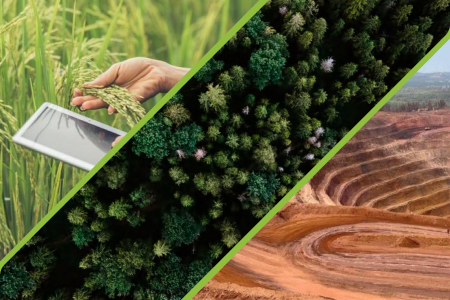
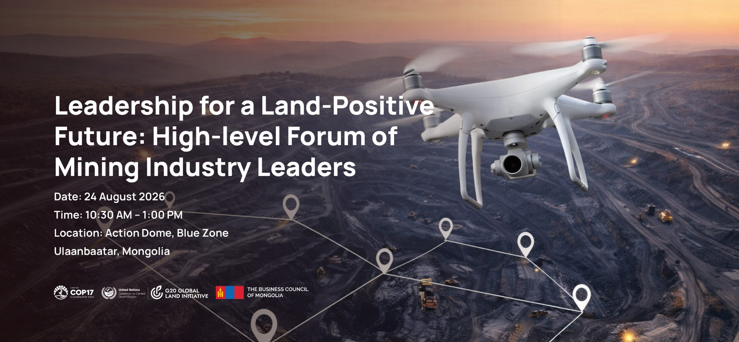
Training remained a cornerstone of the Global Land Initiative, with programs on the restoration of mining areas, of urban lands, of lowland-based systems, of drylands and with biosaline agriculture. These trainings consistently attracted more applications than available slots. To accommodate this high demand and broader participation, we also conducted online webinars on these topics, in English, Arabic and French.
The first University Curriculum Course on Sustainable Agriculture for Land Restoration was launched this year. It reached over 400 university teachers, with over 100 trained on implementing the curriculum. A university module on urban land restoration is in its final stages.
Representatives from 25 countries attended the second Global Changemaker Academy for Parliamentarians held in Bonn. With the European Union Restoration Law’s passage, global best practices can now be discussed and adapted to national contexts.
The Global Land Initiative’s visibility surged with participation in the G20 Environment and Climate Change Working Group meetings in Brazil, the COPs of the UNCBD and UNCCD and 7 other international exhibitions. In December, the Initiative, in partnership with Germany’s Federal Museum of Arts and Sciences, opened the Save Land: United for Land Museum Exhibition, the first museum exhibition on land restoration, which will run until June 2025.
Online engagement grew, reaching over 35,000 newsletter subscribers and over 14,000 followers across social media platforms, and a global reach of nearly 400,000. The Global Photography Festival, which attracted 17,000 entries from 154 countries, further boosted visibility.
The Global Restoration Information Hub was launched in July 2024. It is a compilation of globally available data on land restoration from credible sources. The site provides information on global best practices, restoration commitments, best practice legislations, documentaries, restoration actors and other databases.
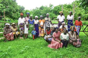
The Initiative issued a global call for communities and NGOs to submit their restoration projects for small grant support, receiving over 600 submissions from 100 countries. Forty-one projects from XX countries were selected for funding.
[Statement on faith, if the faith report is finalized]
The G20 Global Land Initiative Steering Committee was kept informed of developments through regular communication. It met in July and continues to provide guidance on program implementation. It received the work plan for 2025-26; an exciting period of action is ahead.