Monitoring the restoration of degraded lands becomes a reality
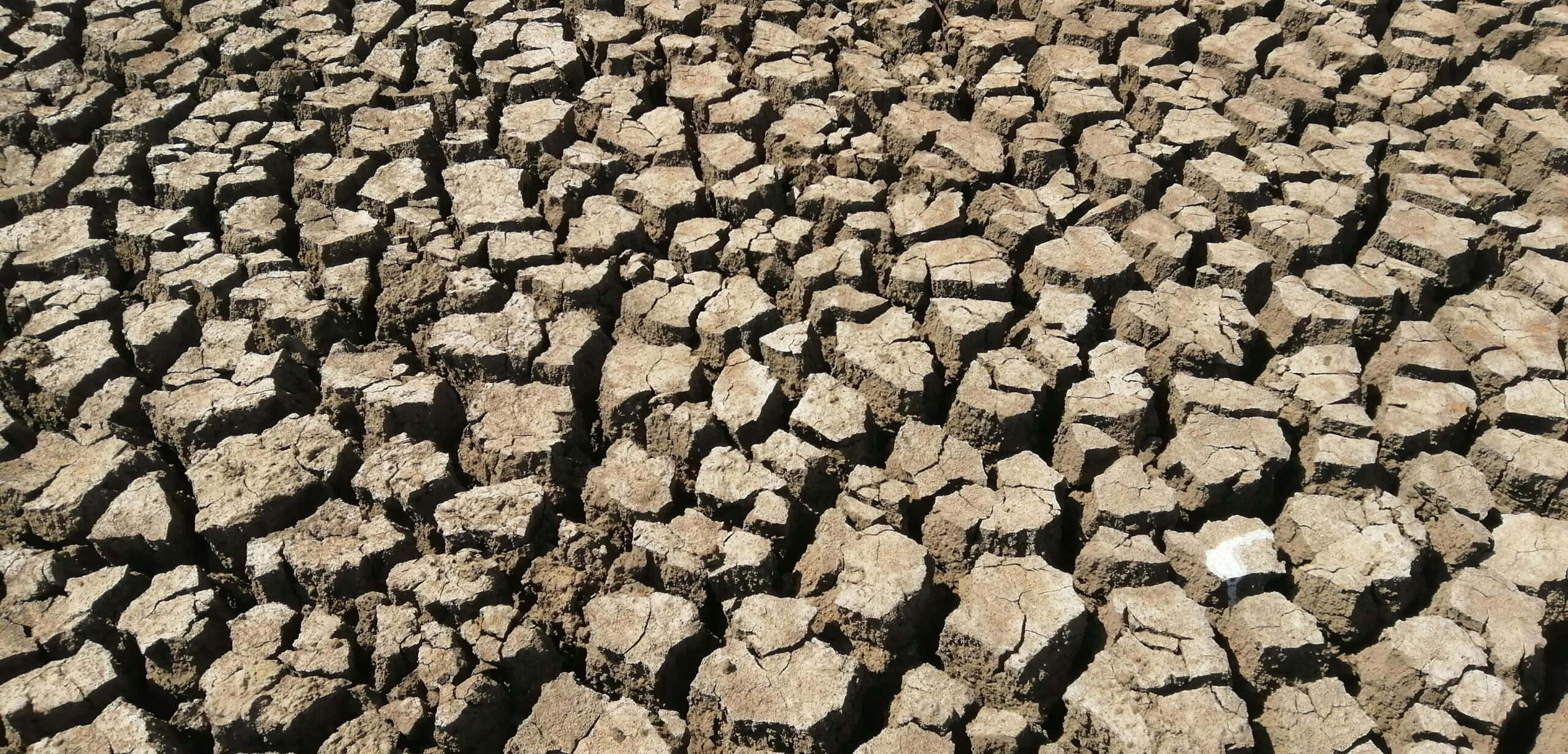
Photo credit: Pexel/Simon Waitiu
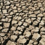
Over 130 countries are in a race to restore more than one billion hectares of degraded lands by 2030 to curb the loss of productive lands, in the face of extreme weather events.
But this starts by monitoring land degradation effectively. This means being able o track the degradation in terms of space and over time. Remote sensing and other advanced technologies are crucial in this effort.
Their insight lay the groundwork for a systematic approach to restoring one billion hectares of land by 2040.
From 21- 24 July 2025, a training workshop on the “Use of Geospatial Data and Remote Sensing Technologies for Monitoring Vegetation Dynamics and Restoring Degraded Lands” is taking place on in Riyadh, Saudi Arabia.
The workshop is organized by Saudi Arabia’s National Centre for Vegetation Cover Development & Combating Desertification (NCVC) and the G20 Global Land Initiative of the United Nations Convention to Combat Desertification (UNCCD), with international experts from UNCCD, the Food and Agriculture Organization of the United Nations (FAO) and German academic institutions among the key trainers.
Participants will gain technical knowledge and practical skills in geospatial monitoring, land use planning and ecosystem restoration.
The topics lined up include the fundamentals of Geographic Information Systems (GIS) and remote sensing, policy frameworks, classification systems and real-world case studies from both local and global contexts.
Different training approaches will be used, from structured learning to applied remote sensing practices and advanced monitoring techniques.
Interactive exercises, such as simulations and multispectral image analysis, will be used to help participants to grasp topics such as geospatial data in ecosystem management.
Participants will also learn how to use cloud-based GIS tools, the Saudi ATLAS platform, the G20 Initiatives data and information platforms and radar sensing technologies for ground motion monitoring.
A technical visit is planned to provide hands-on exposure to field applications and to reinforce the practical relevance of the tools and methodologies discussed is planned at the end of the training.
The Initiative has organized similar trainings in countries such as India.
For more information about the training, contact: Devashree Niraula, Dniraula@unccd.int.
This training is by invitation only and is intended for participants from various ministries in the Kingdom of Saudi Arabia, as well as representative of the National Center for Vegetation Cover (NCVC).
Latest News
- Vanishing wetlands put $39 trillion in global benefits on the line, new report warns
- Call for applications for the Restoration Returns grants

- Monitoring the restoration of degraded lands becomes a reality
- Innovative grassroots organizations restoring land awarded USD395,000

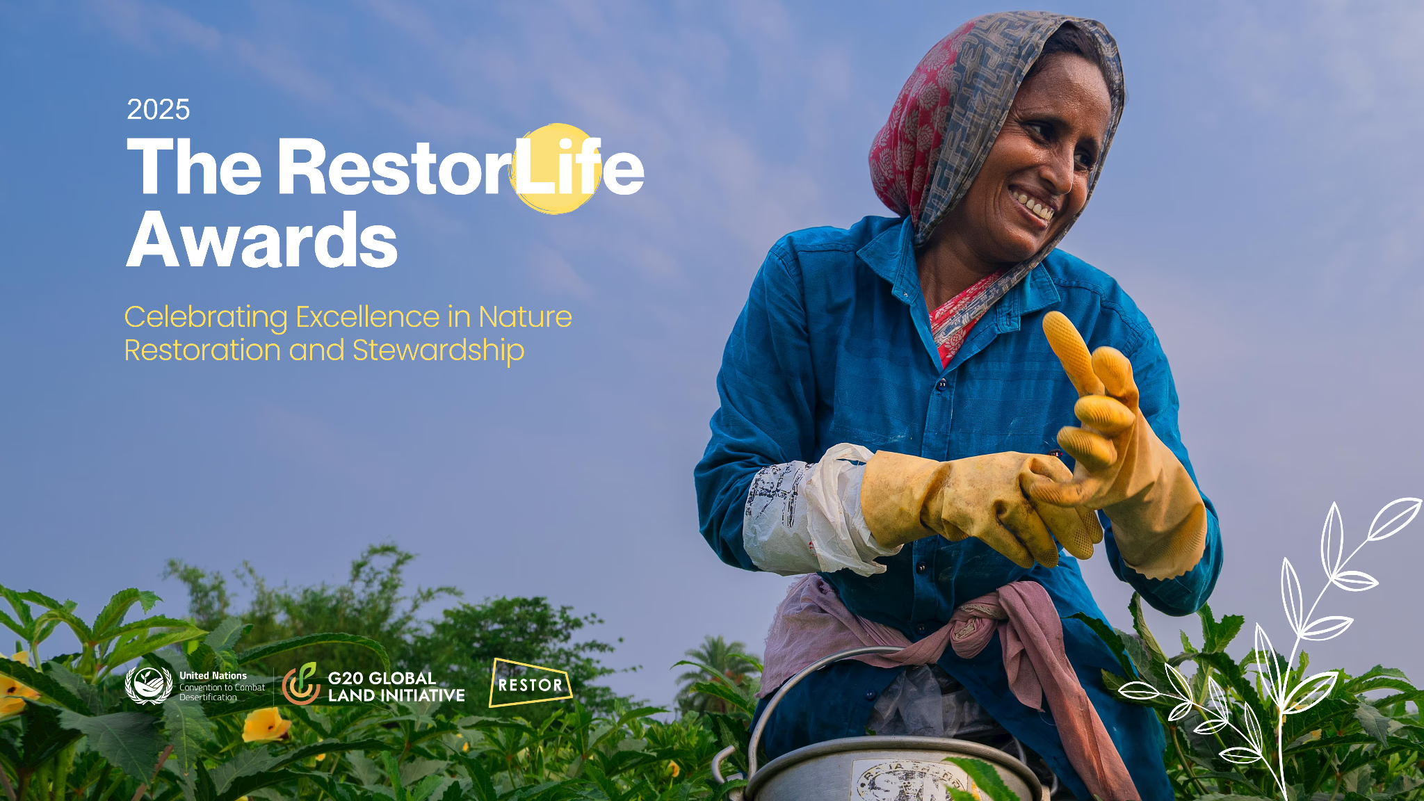
- RestorLife Awards 2025 Honors Two Visionary Environmental Initiatives
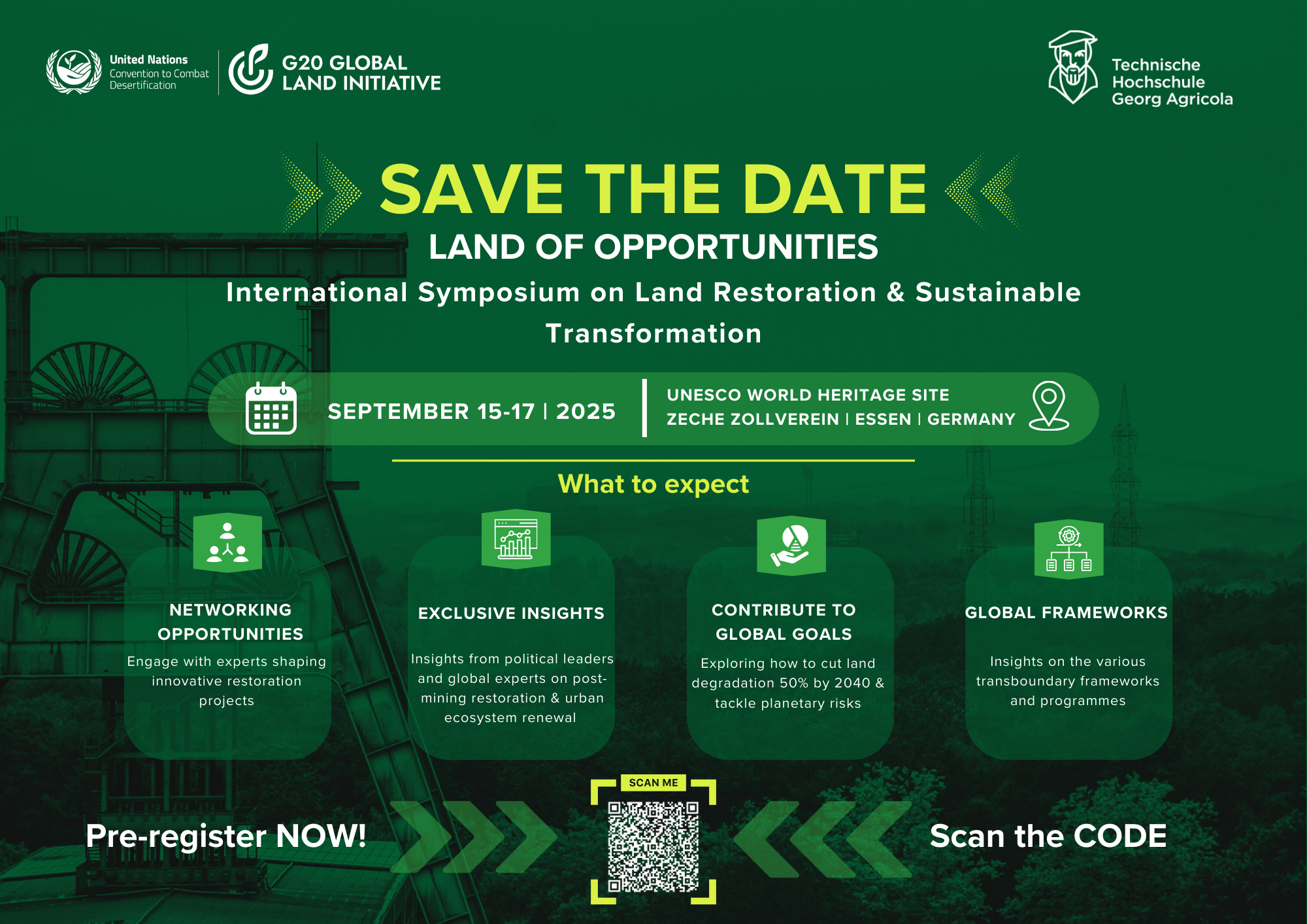
Upcoming Events